
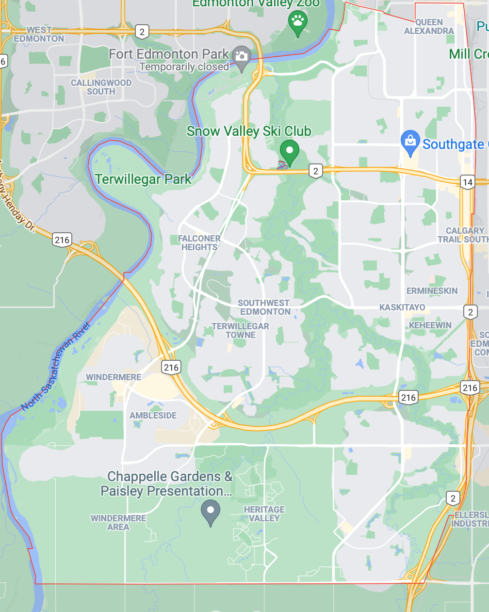
Southwest Edmonton Homes For Sale
 Click Image To View MLS® Listings in Allard, Edmonton |
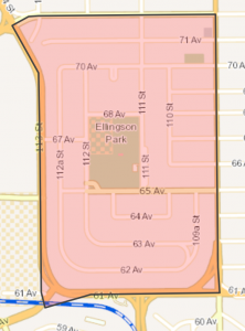
Allard, Edmonton | SIGN UP HERE for Allard Neighbourhood News including new MLS® listings and sold statistics. | Map it | |
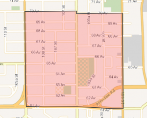 Click Image To View MLS® Listings in Allendale, Edmonton |
Allendale | SIGN UP HERE for Allendale Neighbourhood News including new MLS® listings and sold statistics. | Allendale
Once farmed by the Allen family, this area was annexed by the City of Strathcona in 1907 and became part of Edmonton in 1912 when Strathcona and Edmonton amalgamated. Predominately a single-family residential neighbourhood, Allendale is south-centrally located and has good access to a number of amenities (including the University of Alberta, Southgate Shopping Centre, and the vibrant Whyte Avenue area). |
Map it |
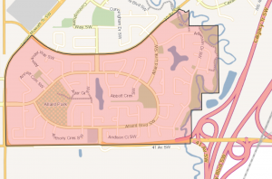
 Click Image To View MLS® Listings in Ambleside, Edmonton |
Ambleside | SIGN UP HERE for Ambleside Neighbourhood News including new MLS® listings and sold statistics. | Ambleside The name Ambleside most likely originates from a town of the same name located in Cumbria, England. Bus service to Ambleside was created in October 2007 on Route 324 by the Edmonton Transit System during peak hours only. The main roadway into the neighbourhood is Windermere Boulevard. Once complete, the neighbourhood will include a mixed-use commercial centre designed as a neighbourhood focal point, and a series of parks, pathways and institutional facilities which will be integrated strategically with residential development. |
Map it |
 Click Image To View MLS® Listings in Aspen Gardens |
Aspen Gardens | SIGN UP HERE for Aspen Gardens Neighbourhood News including new MLS® listings and sold statistics. | Aspen Gardens Built in the 1960s and 1970s, Aspen Gardens was designed to appeal to individuals and families in search of quiet, affluent residential neighbourhood characterised by larger homes, mature trees, and attractive paths for pedestrian and bicycle travel. Commercial services are available in nearby Westbrook and Petrolia, as well as the Southgate and Heritage Malls. |
Map it |
 Click Image To View MLS® Listings in Bearspaw, Edmonton |
Bearspaw_Edmonton | SIGN UP HERE for Bearspaw Neighbourhood News including new MLS® listings and sold statistics. | Bearspaw Named for Stony Indian Chief Masgwaahisd (Bearspaw), this neighbourhood is located in the southern part of Kaskitayo. Area homes were built mostly in the 1980s and are centred on attractive recreation sites, including Bearspaw Lake and Blackmud Creek Ravine. Though strictly residential, the area offers easy access to commercial centres. The majority of households have children. |
Map it |
 Click Image To View MLS® Listings in Belgravia, Edmonton |
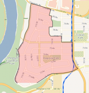
Belgravia | SIGN UP HERE for Belgravia Neighbourhood News including new MLS® listings and sold statistics. | Belgravia Once the southwest terminus for the Edmonton Radial Railway, Belgravia is a mature, quiet neighbourhood. Named after a fashionable residential section of 19th century London, Belgravia is an attractive area with tree-lined streets that offers easy access to the river valley and the University of Alberta campus. |
Map it |
 Click Image To View MLS® Listings in Blackburne, Edmonton |
Blackburne | SIGN UP HERE for Blackburne Neighbourhood News including new MLS® listings and sold statistics. | Blackburne The neighbourhood name “Blackburne” was derived from Blackmud Creek, which runs across the southern edge of the community, and in reference to “burne” which is an old English word for stream or river. The Blackburn area was annexed to the City of Edmonton on January 1, 1982. The Blackburne neighbourhood was developed from the 1990s onwards. Most of the land within Blackburne is designated for residential purposes, with single-detached housing being the dominant housing form. |
Map it |
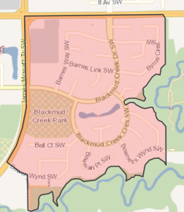 Click Image To View MLS® Listings in Blackmud Creek, Edmonton |
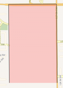
Blackmud Creek | Sign Up HERE for Blackmud Creek Neighbourhood News including new MLS® listings and sold statistics. | Map it | |
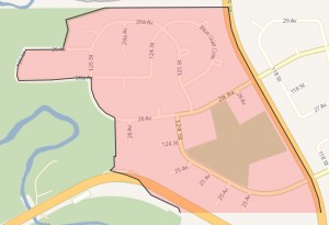 Click Image To View MLS® Listings in Blue Quill Estates, Edmonton |
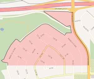
Blue Quill Estates | Sign Up HERE for Blue Quill Estates Neighbourhood News including new MLS® listings and sold statistics. | Blue Quill Estates Named to honour Chief Blue Quill of the Saddle Lake Band who traded with merchants of Fort Edmonton in the late 1890s, Blue Quill includes a variety of housing from apartments and row houses to spacious single-unit houses on large lots overlooking the Whitemud Creek Ravine. The focus of the neighbourhood is a centrally located multiple purpose recreational site. Whitemud Creek and Blackmud Creek ravines offer opportunities for all season outdoor recreation in a natural setting. |
Map it |
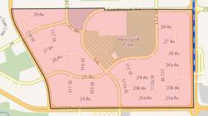 Click Image To View MLS® Listings in Blue Quill, Edmonton |
Blue Quill | Sign Up HERE for Blue Quill Neighbourhood News including new MLS® listings and sold statistics. | Blue Quill Blue Quill is named in honour of Cree Chief Blue Quill of the Saddle Lake Indian Reserve which was established in 1889. In the late 1890s, Chief Blue Quill traded in Edmonton. Blue Quill was annexed by Edmonton in 1971. Development began shortly after annexation, with the bulk of housing construction taking place between 1971 and 1980. A commercial centre is located in the northern part of the community along Saddleback Road, and school and park sites are located towards the interior of the neighbourhood. |
Map it |
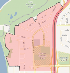 Click Image To View MLS® Listings in Brander Gardens, Edmonton |
Brander Gardens | Sign Up HERE for Brander Gardens Neighbourhood News including new MLS® listings and sold statistics. | Brander Gardens Brander Gardens is named for George Brander, whose peony gardens were an attraction for Albertans until the 1940s and were the source of most of the peonies in Alberta. Most of Brander Gardens was built during the 1970s, featuring curved roads, cul de sacs and biking trails. Residents, most of whom live in row houses and low-rise apartments, enjoy acess to river valley park trails and to Fort Edmonton Park. |
Map it |
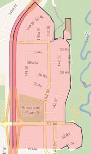 Click Image To View MLS® Listings in Brookside, Edmonton |
Brookside | Sign Up HERE for Brookside Neighbourhood News including new MLS® listings and sold statistics. | Brookside Adjacent to the Whitemud Creek Ravine, Brookside offers a natural woodland habitat, skiing and other recreational facilities and access to river valley park trails. Most of the homes are “executive” style, built on above-average size lots and featuring mature landscaping. |
Map it |
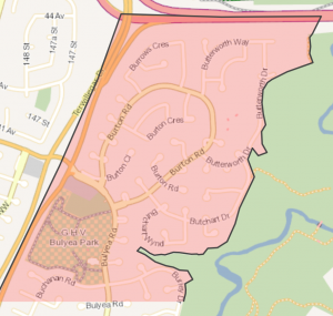 Click Image To View MLS® Listings in Bulyea Heights, Edmonton |
Bulyea Heights | Sign Up HERE for Bulyea Heights Neighbourhood News including new MLS® listings and sold statistics. | Bulyea Heights Bulyea Heights was named after George Hedley Vicars Bulyea (1859-1928), the first Lieutenant-Governor of Alberta. The majority of the residences within the Bulyea Heights neighbourhood were constructed in the 1970s, and consist primarily of single-detached homes and some medium density units. The presence of the Whitemud Creek Ravine, running the eastern length of Bulyea Heights, is the most striking feature of the neighbourhood. A small commercial centre is located along Bulyea Road, but the vast majority of the neighbourhood has been developed residentially. |
Map it |
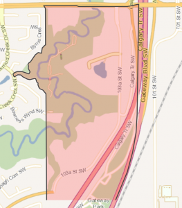
 Click Image To View MLS® Listings in Callaghan, Edmonton |
Callaghan | Sign Up HERE for Callaghan Neighbourhood News including new MLS® listings and sold statistics. | Map it | |
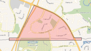 Click Image To View MLS® Listings in Carter Crest, Edmonton |
Carter Crest | Sign Up HERE for Carter Crest Neighbourhood News including new MLS® listings and sold statistics. | Carter Crest Carter Crest is named after Robert I. Carter (1858-1931) who was a Canadian government agent who advised Americans on their immigration prospects to Canada. He purchased a farm in what is now Terwillegar Park, naming it Riverside Farm. Carter Crest was designed to integrate seamlessly with surrounding residential areas, and to provide an attractive community for its residents. Robert Carter Park, located in the northeast portion of the neighbourhood, provides residents with open space, and a system of pathways provides for efficient pedestrian and bicycle access throughout the neighbourhood. |
Map it |
 Click Image To View MLS® Listings in Cashman, Edmonton |
Cashman | Sign Up HERE for Cashman Neighbourhood News including new MLS® listings and sold statistics. | Map it | |
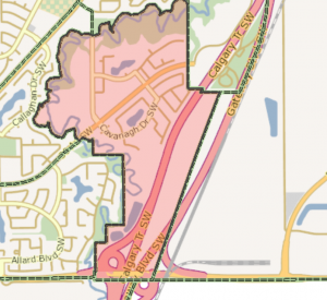 Click Image To View MLS® Listings in Cavanagh, Edmonton |
Cavanagh | Sign Up HERE for Cavanagh Neighbourhood News including new MLS® listings and sold statistics. | Map it | |
 Click Image To View MLS® Listings in Chappelle Area, Edmonton |
Chappelle Area | Sign Up HERE for Chappelle Area Neighbourhood News including new MLS® listings and sold statistics. | Map it | |
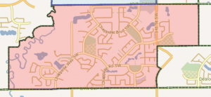
 Click Image To View MLS® Listings in Desrocher, Edmonton |
Desrochers Area | Sign Up HERE for Desrocher Neighbourhood News including new MLS® listings and sold statistics. | Map it | |
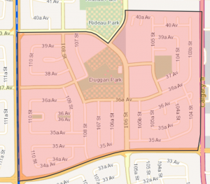 Click Image To View MLS® Listings in Duggan, Edmonton |
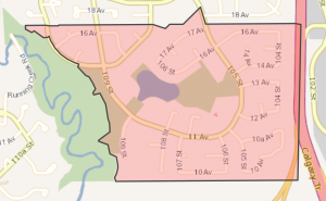
Duggan | Sign Up HERE for Duggan Neighbourhood News including new MLS® listings and sold statistics. | Duggan Named for J..J. Duggan (a pioneer citizen and former mayor of Edmonton’s early rival, the City of Strathcona), Duggan reflects the popular design elements of the 1960s. Apartments and shops are located along major roadways and near the central school and park sites. Single detached houses are grouped around the centre and arranged along curvilinear streets. |
Map it |
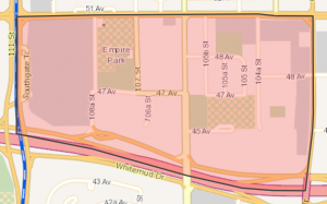 Click Image To View MLS® Listings in Empire Park, Edmonton |
Empire Park | Sign Up HERE for Empire Park Neighbourhood News including new MLS® listings and sold statistics. | Empire Park Empire Park is a diverse neighbourhood, with residential, commercial, institutional and industrial land uses. Development of the neighbourhood began during the 1960s and for the most part was complete by the 1970s. Most homes are contained within row housing and apartment complexes. Southgate Shopping Centre is the primary commercial development within the neighbourhood and the major shopping facility for residents of nearby areas. |
Map it |
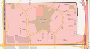 Click Image To View MLS® Listings in Ermineskin, Edmonton |
Ermineskin | Sign Up HERE for Ermineskin Neighbourhood News including new MLS® listings and sold statistics. | Ermineskin Ermineskin is named for Chief Ermineskin of Hobbema. While single family houses are the major structure type, apartments are the largest source of dwelling units Ermineskin. Heritage Mall, a regional shopping centre, is located within the neighbourhood and serves the residents of Ermineskin. Residents of Ermineskin enjoy an abundance of recreation and open space. |
Map it |
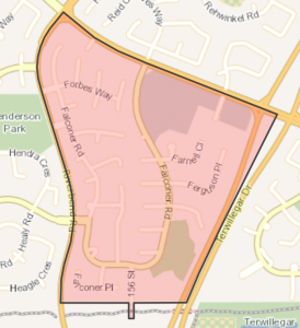 Click Image To View MLS® Listings in Falconer Heights, Edmonton |
Falconer Heights | Sign Up HERE for Falconer Heights Neighbourhood News including new MLS® listings and sold statistics. | Falconer Heights Falconer Heights was named after James F. Falconer, who was involved in the formation of Edmonton’s Names Advisory Committee in the mid 1950s and served on the committee until 1979. Prior to urban development this area was used for agricultural cultivation. A natural area, which features a mature tree stand, was preserved as a park in the southeast corner. The internal road network is based on a series of cul-de-sacs oriented along a collector road (Falconer Road), with arterial roads located along the neighbourhood’s boundaries |
Map it |
 Click Image To View MLS® Listings in Garneau, Edmonton |
Garneau | Sign Up HERE for Garneau Neighbourhood News including new MLS® listings and sold statistics. | Garneau One of the oldest inner-city neighbourhoods, Garneau is named for an early settler and became part of Edmonton in 1912. This attractive and energetic area features a high proportion of multi-unit dwellings, which provide housing for students at the adjacent University of Alberta. Residents enjoy excellent access to most areas of Edmonton, as well as to the commercial and cultural centres of Old Strathcona and Whyte Avenue. |
Map it |
 Click Image To View MLS® Listings in Glenridding, Edmonton |
Glenridding Area | Sign Up HERE for Glenridding Area Neighbourhood News including new MLS® listings and sold statistics. | Map it | |
 Click Image To View MLS® Listings in Grandview Heights, Edmonton |
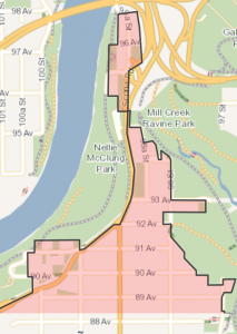
Grandview Heights_Edmonton | SIGN UP HERE for Grandview Heights Neighbourhood News including new MLS® listings and sold statistics. | Grandview Heights This area was owned by the McCauley family in the 1880s, and the name is likely a reference to its spectacular views of the river valley. Built largely in the 1960s, the area is characterised by a variety of “executive” style homes on wide, curving streets, surrounded by attractive landscaping on spacious lots. |
Map it |
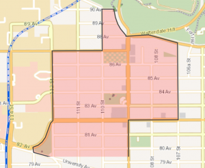
 Click Image To View MLS® Listings in Graydon Hill, Edmonton |
Graydon Hill | SIGN UP HERE for Graydon Hill Neighbourhood News including new MLS® listings and sold statistics. | Map it | |
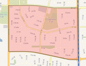 Click Image To View MLS® Listings in Greenfield, Edmonton |
Greenfield | SIGN UP HERE for Greenfield Neighbourhood News including new MLS® listings and sold statistics. | Greenfield This area was named for Herbert Greenfield, leader of the United Farmers Party and Premier of Alberta from 1921 to 1925. Greenfield boomed just after World War II, and features larger Single-family homes on attractive crescents and cul-de-sacs, as well as centrally located schools and recreational facilities. Efficient roads and public transit service connect Greenfield to major retail areas, including Southgate and Heritage shopping centres. |
Map it |
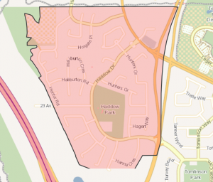 Click Image To View MLS® Listings in Haddow, Edmonton |
Haddow | SIGN UP HERE for Haddow Neighbourhood News including new MLS® listings and sold statistics. | Haddow The Haddow neighbourhood is named after Albert Walker ¿Bert¿ Haddow, who was Edmonton¿s city engineer for forty years. Haddow is predominantly a low density residential neighbourhood and single detached units are the most common housing form. The neighbourhood¿s stormwater management system compliments Haddow¿s open space plan, and a series of strategically located pathways provide connections for pedestrians throughout the neighbourhood. |
Map it |
 Click Image To View MLS® Listings in Hays Ridge, Edmonton |
Hays Ridge Area | SIGN UP HERE for Hays Ridge Neighbourhood News including new MLS® listings and sold statistics. | Map it | |
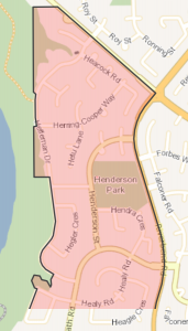 Click Image To View MLS® Listings in Henderson Estates, Edmonton |
Henderson Estates | SIGN UP HERE for Henderson Estates Neighbourhood News including new MLS® listings and sold statistics. | Henderson Estates Henderson Estates is named after Thomas Henderson, who was a homesteader in the Riverbend area in the late 19th century. Henderson Estates bears Henderson¿s name because his homestead was located nearby. Prior to urban development Henderson Estates was primarily under agricultural cultivation. The neighbourhood experienced the majority of its development during the 1980s and 1990s. Henderson Park is located at the center of the neighbourhood, which is also where the community league facility is located. |
Map it |
 Click Image To View MLS® Listings in Heritage Valley, Edmonton |
Heritage Valley Area | SIGN UP HERE for Heritage Valley Area Neighbourhood News including new MLS® listings and sold statistics. | Map it | |
 Click Image To View MLS® Listings in Hodgson, Edmonton |
Hodgson | SIGN UP HERE for Hodgson Neighbourhood News including new MLS® listings and sold statistics. | Hodgson The Hodgson neighbourhood was named after John Hodgson (1888-1969) who was the city comptroller and financial commissioner for the City of Edmonton for nearly 40 years. Whitemud Creek Ravine forms the eastern boarder of the neighbourhood, providing residents with access to one of Edmonton¿s significant natural areas. A large park is located at the centre of the neighbourhood, and smaller parks and natural areas are connected with pedestrian pathways. A commercial centre is located in the southwest corner of the neighbourhood. |
Map it |
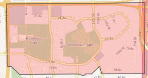 Click Image To View MLS® Listings in Keheewin, Edmonton |
Keheewin | SIGN UP HERE for Keheewin Neighbourhood News including new MLS® listings and sold statistics. | Keheewin One of the City’s newest neighbourhoods, development in Keheewin began in the 1990s. Keheewin — Cree for “eagle” — lies in the City’s south end. The area is characterised by a mix of residential and commercial uses. Though not yet fully developed, Keheewin has an elementary school to serve the high number of young children living here and Heritage Mall is close by. |
Map it |
 Click Image To View MLS® Listings in Keswick Area, Edmonton |
Keswick Area | SIGN UP HERE for Keswick Area Neighbourhood News including new MLS® listings and sold statistics. | Map it | |
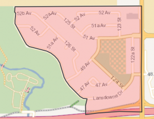 Click Image To View MLS® Listings in Lansdowne, Edmonton |
Lansdowne | SIGN UP HERE for Lansdowne Neighbourhood News including new MLS® listings and sold statistics. | Lansdowne Residents of Lansdowne enjoy a quiet pastoral atmosphere and the opportunity to view the rural, agricultural setting of the University of Alberta Farm from the bicycle path through the eastern portion of the farm. Whitemud Creek Ravine offers a natural woodland habitat, a skiing and recreational facility and access to river valley park trails. Most housing in Lansdowne consists of “executive” style single unit homes on above average size lots. The focus of the neighbourhood is a multiple purpose educational and recreational site. |
Map it |
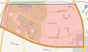 Click Image To View MLS® Listings in Leger, Edmonton |
Leger | SIGN UP HERE for Leger Neighbourhood News including new MLS® listings and sold statistics. | Leger The Leger neighbourhood was named after a long serving Edmonton politician, Edmund Hugh Leger, who was first elected to City Council in 1959 and went on to serve as an alderman for 25 years. All homes are oriented along curvilinear streets, with higher density residential developments located along arterial and collector roads in close proximity to transit routes, commercial amenities, and recreational facilities. A pedestrian and bicycle pathway system connects the residential areas with the commercial site in the southeast and the institutional and recreational amenities in the west. |
Map it |
 Click Image To View MLS® Listings in Lendrum Place, Edmonton |
Lendrum Place | SIGN UP HERE for Lendrum Place Neighbourhood News including new MLS® listings and sold statistics. | Lendrum Place The area was named in honour of Robert Lendrum, one of Edmonton’s early land surveyors. |
Map it |
 Click Image To View MLS® Listings in MacEwan, Edmonton |
Macewan | SIGN UP HERE for Macewan Neighbourhood News including new MLS® listings and sold statistics. | MacEwan MacEwan takes its name from John Walter Grant MacEwan (1902-2000) who was a local historian, author and politician. A conscious effort was made to design MacEwan for a more efficient, environmentally conscious use of space and resources. There are a series of pathways that connect throughout the neighbourhood and link the parks and natural areas together. Prior to urban development the land in the area was in agricultural use with the exception of one natural area, the Virginia woodlot, which was maintained as part of the ultimate neighbourhood design. |
Map it |
 Click Image To View MLS® Listings in MacTaggart, Edmonton |
Mactaggart | SIGN UP HERE for Mactaggart Neighbourhood News including new MLS® listings and sold statistics. | Mactaggart The MacTaggart neighbourhood takes its name from Sandy Auld Mactaggart, a local entrepreneur and philanthropist with provincial, national and international achievements in business, the arts, and education. The MacTaggart Neighbourhood Area Structure Plan (NASP) was approved by City Council in 2005 and construction of the new neighbourhood began very shortly thereafter. Land use promotes pedestrian and bicycle travel through the neighbourhood and into other neighbourhoods |
Map it |
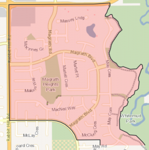 |
Magrath Heights | SIGN UP HERE for Magrath Heights Neighbourhood News including new MLS® listings and sold statistics. | Map it | |
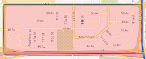 Click Image To View MLS® Listings in Malmo Plains, Edmonton |
Malmo Plains | SIGN UP HERE for Malmo Plains Neighbourhood News including new MLS® listings and sold statistics. | Malmo Plains Most of the land within the present neighbourhood was at one time part of the University of Alberta research farm. The soils in the area were of a type known as malmo and hence the name for the neighbourhood. Malmo Plains is mostly residential, was developed during the 1960s primarily with single-family homes. The University of Alberta’s married student multi-family complex is located at the western end of the neighbourhood. |
Map it |
 Click Image To View MLS® Listings in McKernan, Edmonton |
Mckernan | SIGN UP HERE for Mckernan Neighbourhood News including new MLS® listings and sold statistics. | McKernan Named for James McKernan (prominent businessman and citizen of Edmonton’s early rival, the City of Strathcona), McKernan became part of Edmonton through amalgamation in 1912, but development of the area was delayed until McKernan was drained during the 1940s. As with many mature neighbourhoods, the residential component in McKernan is predominately single families. With proximity to the University of Alberta Campus, a large proportion of McKernan’s residents are post-secondary students. |
Map it |
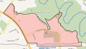 Click Image To View MLS® Listings in Olgilvie Ridge, Edmonton |
Ogilvie Ridge | SIGN UP HERE for Ogilvie Ridge Neighbourhood News including new MLS® listings and sold statistics. | Ogilvie Ridge Ogilvie was named after James H. Ogilvie (1893-1977) who was a politician for 57 years, a lawyer, and a veteran of WWI. The natural topography and Ogilvie Ridge¿s integration with the North Saskatchewan River Valley ravine system is a defining features of the neighbourhood. A large park site is located at the centre of the neighbourhood and includes playing field space, a naturalized park, a water feature and tennis courts. Single family homes were built to overlook this central open space, which provides great amenities for the community. |
Map it |
| Paisley | SIGN UP HERE for Paisley Neighbourhood News including new MLS® listings and sold statistics. | Map it | ||
 Click Image To View MLS® Listings in Park Allen, Edmonton |
Parkallen_Edmo nton | SIGN UP HERE for Parkallen Neighbourhood News including new MLS® listings and sold statistics. | Map it | |
 Click Image To View MLS® Listings in Pleasantview, Edmonton |
Pleasantview_Edmonton | SIGN UP HERE for Pleasantview Neighbourhood News including new MLS® listings and sold statistics. | Pleasantview Close to Southgate Mall, the area’s most prominent feature is its elevation: hence the name Pleasantview. Portions of Pleasantview have been part of Edmonton since 1914 and much of the land was originally subdivided and sold to WWII veterans. |
Map it |
 Click Image To View MLS® Listings in Queen Alexandra, Edmonton |
Queen Alexandra | SIGN UP HERE for Queen Alexandra Neighbourhood News including new MLS® listings and sold statistics. | Queen Alexandra Queen Alexandra, named for the wife of Edward VII of England, was once part of the original Town of Strathcona. The area features a broad mix of land uses from residential to commercial. Queen Alexandra’s proximity to the University of Alberta campus, and the commercial and cultural centre of Whyte Avenue, makes this a popular area for students. |
Map it |
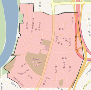 Click Image To View MLS® Listings in Ramsay Heights, Edmonton |
Ramsay Heights | SIGN UP HERE for Ramsay Heights Neighbourhood News including new MLS® listings and sold statistics. | Ramsay Heights Just south of Riverbend, Ramsay Heights offers a panoramic view of the city to the residents of single-family and multi-family homes. Designed around a central educational and recreational site, area inhabitants — a high proportion of whom are in their 30s and 40s — are linked to the city’s major commercial and employment centres by the Whitemud Freeway. The area is named for Walter Ramsay, who came to the city in 1899 as a teacher and later became the city’s first commercial florist. |
Map it |
 Click Image To View MLS® Listings in Rhatigan Ridge, Edmonton |
Rhatigan Ridge | SIGN UP HERE for Rhatigan Ridge Neighbourhood News including new MLS® listings and sold statistics. | Rhatigan Ridge This neighbourhood is named for Thomas Rhatigan, an area farmer who was proclaimed “World Oat King” at Toronto’s Royal Winter Fair in 1953, 1966 and 1970. Annexed to the City in 1960, the area features single family dwellings built in the 1980s on attractive crescents and cul-de-sacs, and includes luxury homes on spacious lots. |
Map it |
 Click Image To View MLS® Listings in Richford, Edmonton |
Richford | SIGN UP HERE for Richford Neighbourhood News including new MLS® listings and sold statistics. | Map it | |
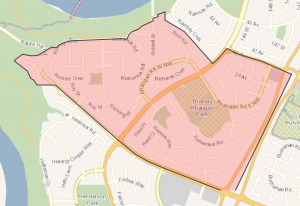
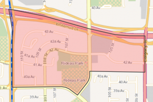 Click Image To View MLS® Listings in Rideau Park, Edmonton |
Rideau Park_Edmonton | SIGN UP HERE for Rideau Park Neighbourhood News including new MLS® listings and sold statistics. | Rideau Park The neighbourhood is named for Rideau Hall, the residence in Ottawa of the Governor General of Canada. A compact yet diverse neighbourhood, Rideau Park is a mix of single-family homes and low-rise apartment buildings, mostly developed in the 1970s. School and park sites in the centre also serve the residents of adjacent Duggan. A considerable portion of Rideau Park has yet to be developed. |
Map it |
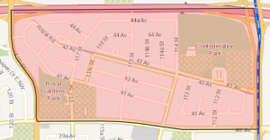 Click Image To View MLS® Listings in Royal Gardens, Edmonton |
Royal Gardens_Edmonton | SIGN UP HERE for Royal Gardens Neighbourhood News including new MLS® listings and sold statistics. | Royal Gardens Royal Gardens is a mature suburban neighbourhood developed during the 1960s. The area features four schools as well as a large recreation area which serves students from surrounding neighbourhoods. |
Map it |
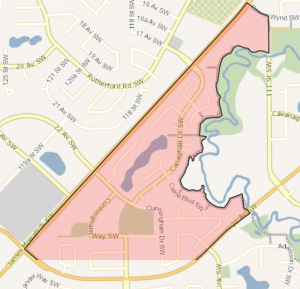
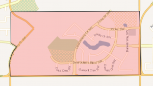
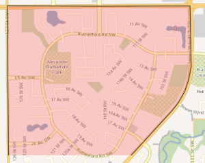 Click Image To View MLS® Listings in Rutherford, Edmonton |
Rutherford | SIGN UP HERE for Rutherford Neighbourhood News including new MLS® listings and sold statistics. | Rutherford Rutherford takes its name from Alexander Cameron Rutherford (1857-1941) who was the first premier of Alberta. Creating an extensive pedestrian network throughout the neighbourhood was an important design principle. The utility corridor that diagonally runs the length of the neighbourhood provides an important pedestrian spine which connects the various walkways to activity nodes throughout the community. Virginia Park Woodland is dispersed to provide focal points throughout Rutherford and increase pedestrian connectivity. Prior to urban development Rutherford was a predominantly agricultural area with some country residential land use. |
Map it |
 Click Image To View MLS® Listings in Skyrattler, Edmonton |
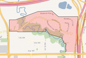
Skyrattler | SIGN UP HERE for Skyrattler Neighbourhood News including new MLS® listings and sold statistics. | Skyrattler Skyrattler was Chief of the Winterburn band when Edmonton attained city status in 1904. With the exception of the 10.5 hectare site of the Baptist Seminary College, built starting in 1967, the area was undeveloped until the 1970s. Skyrattler is dominated by row housing (36%) and low-rise apartment (45%) accommodation. Much of this housing is in a picturesque, natural setting adjacent to Blackmud Creek Ravine. |
Map it |
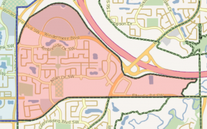
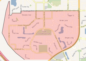 Click Image To View MLS® Listings in South Terwillegar, Edmonton |
South Terwillegar | SIGN UP HERE for South Terwillegar Neighbourhood News including new MLS® listings and sold statistics. | Map it | |
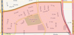 Click Image To View MLS® Listings in Steinhauer, Edmonton |
Steinhauer | SIGN UP HERE for Steinhauer Neighbourhood News including new MLS® listings and sold statistics. | Steinhauer The neighbourhood is named for Henry Bird Steinhauer, a missionary who settled in Alberta during the mid-1800s (and from whom the family of the former Lieutenant Governor takes its name). Steinhauer is a newer suburban area developed during the 1970s, where single homes surround a cluster of row housing complexes. Residents enjoy proximity to Heritage and Southgate shopping centres. A large landscaped utility transmission corridor to the south bolsters Steinhauer’s inventory of usable recreation space. |
Map it |
 Click Image To View MLS® Listings in Strathcona, Edmonton |
Strathcona | SIGN UP HERE for Strathcona Neighbourhood News including new MLS® listings and sold statistics. | Strathcona Strathcona was named for Lord Strathcona, Hudson Bay Company Governor (1889-1914) and the man chosen to drive the “last spike” of the CPR transcontinental railway. The neighbourhood became part of Edmonton when the City of Strathcona amalgamated with Edmonton in 1912. Residents enjoy proximity to Old Strathcona, the University of Alberta, and outdoor recreation in the river valley. |
Map it |
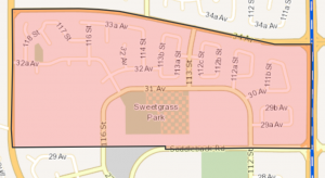 Click Image To View MLS® Listings in Sweet Grass, Edmonton |
Sweet Grass | SIGN UP HERE for Sweet Grass Neighbourhood News including new MLS® listings and sold statistics. | Sweet Grass The neighbourhood is named in honour of the Cree Indian Chief Sweet Grass who was one of the early west’s first conservationists and instrumental in the protection of the Plains Bison. Sweet Grass has no commercial properties and few businesses, but a great variety of retail and service businesses are located at nearby Heritage and Southgate shopping centres. Recreational opportunities and parkland are located next to the elementary school. |
Map it |
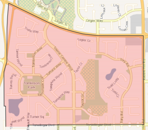 Click Image To View MLS® Listings in Terwillegar Towne, Edmonton |
Terwillegar Towne | SIGN UP HERE for Terwillegar Towne Neighbourhood News including new MLS® listings and sold statistics. | Terwillegar Towne Terwillegar Towne was named in honour of Dr. Norman L. Terwillegar (1884-1948). Dr. Terwillegar was a pioneer, a surgeon, and a local property owner. This was the first community in Edmonton to be planned and built upon a neo-traditional design model, and provides an example of New Urbanism-style development within the city. Roadways were constructed so as to encourage pedestrian usage. |
Map it |
 Click Image To View MLS® Listings in Twin Brooks, Edmonton |
Twin Brooks | SIGN UP HERE for Twin Brooks Neighbourhood News including new MLS® listings and sold statistics. | Twin Brooks Twin Brooks was named to reflect its geographic location between two creeks. The Twin Brooks area was annexed to the City of Edmonton in 1980. Access to Blackmud and Whitemud Creek Ravines provides residents with excellent natural outdoor amenity space and represents a defining feature of the neighbourhood. Residential construction within Twin Brooks began in the late 1980s. |
Map it |
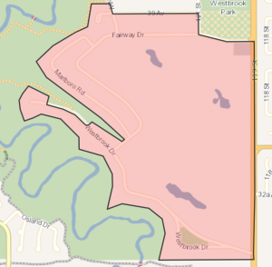 Click Image To View MLS® Listings in Westbrook Estates, Edmonton |
Westbrook Estate | SIGN UP HERE for Westbrook Estate Neighbourhood News including new MLS® listings and sold statistics. | Westbrook Estates Westbrook Estate was designed to appeal to individuals and families in search of a quiet, high quality residential environment with prestigious, architecturally designed homes on large lots. Westbrook Estate is bounded by Whitemud Creek Ravine on the west while a large portion of the centre and east is occupied by the Derrick golf and Winter Club (founded in 1959). The street pattern was designed to take advantage of these features with a majority of the lots backing onto either the ravine or the golf course. |
Map it |
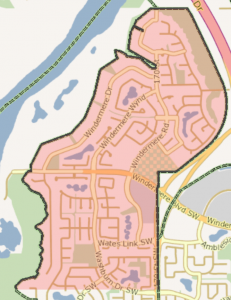 Click Image To View MLS® Listings in Windermere, Edmonton |
Windermere | SIGN UP HERE for Windermere Neighbourhood News including new MLS® listings and sold statistics. | Windermere Windermere likely comes from the words “winder”, which means “to take one’s breath away”, and “mere”, which refers to the boundary of an area or a significant landmark. The Windermere Estates area was originally part of Strathcona County and was annexed to the City of Edmonton in 1982. Edmonton’s Windermere Estates, features large estate homes that overlook the city’s the river valley which appropriately evokes the neighbourhood’s characteristics in its name. Once complete a series of parks, pathways and institutional facilities will be integrated strategically with residential development. |
Map it |
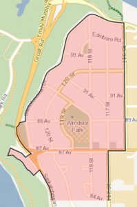 Click Image To View MLS® Listings in Windsor Park, Edmonton |
Windsor Park_Edmonton | SIGN UP HERE for Windsor arkNeighbourhood News including new MLS® listings and sold statistics. | Windsor Park In 1882, the area that is now Windsor Park was owned and farmed by Allan Omand. The Windsor Park subdivision was created in 1911, just prior to the amalgamation between Edmonton and Strathcona, during the land booms in the early part of the 20th century. Residents enjoy easy access to the Capital City Recreation Park system as well as spectacular views from vantage points along Saskatchewan Drive. |
Map it |

